
trust the data. touch the detail.
BRITISH COLUMBIA, CANADA
Better Data. Less Risk. Every Time.
Traditional surveys and inspections yield limited datasets. They also require valuable shutdown time and unnecessary safety risk.
Tactile's data capture methods safely provide comprehensive, repeatable datasets to help your team optimize decision making.
Pixel Perfect.
We can capture every square centimeter of your site or asset. Every pixel is georeferrenced, and we check accuracy against ground control and report it.
Boots Off The Ground.
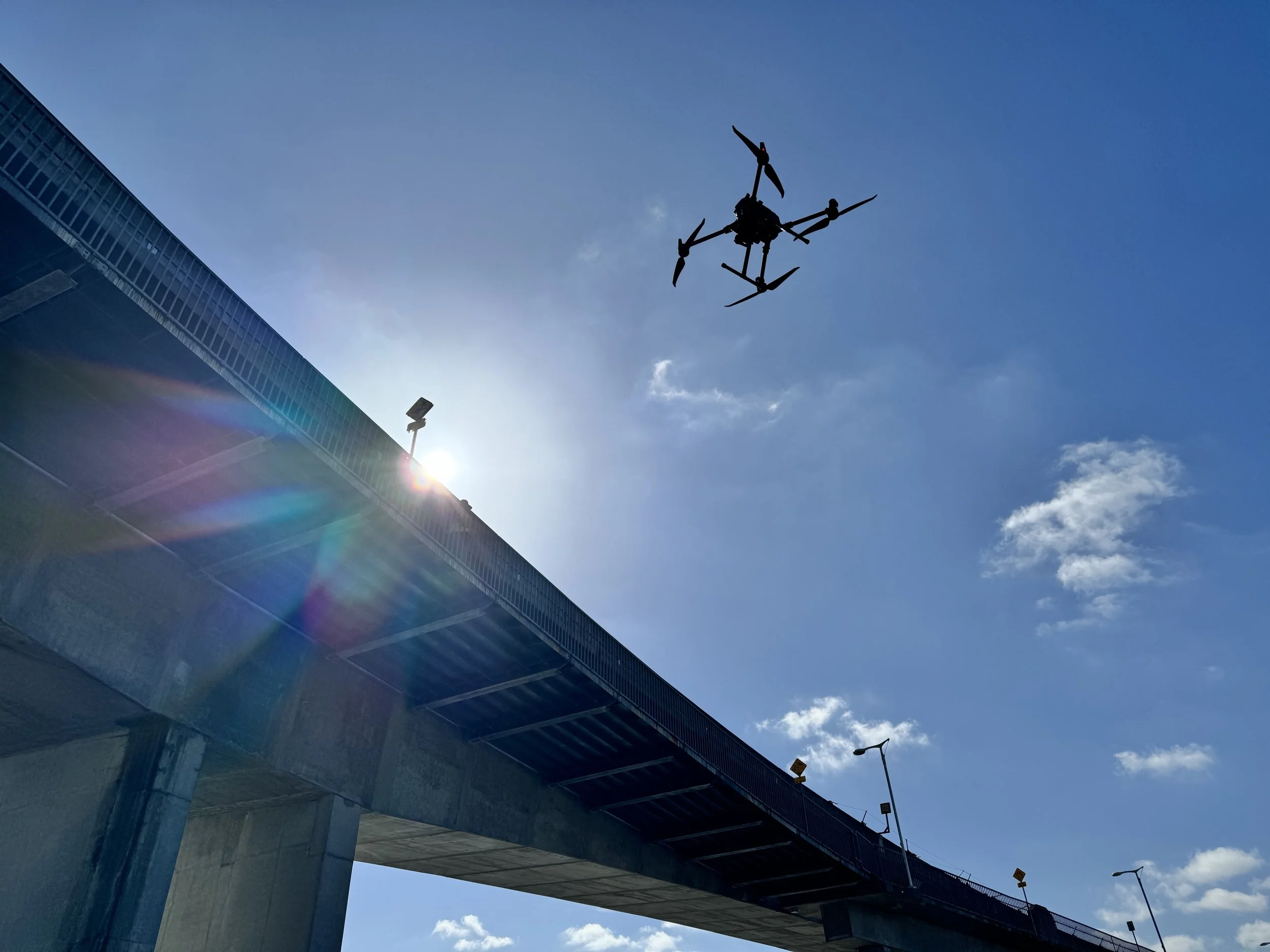
No lifts, rope access, or closures to pay for and slow you down. Bridge, roof, tower, warehouse, mine, you name it. We will safely capture it while your show goes on.
Your Data. Your Way.
We customize data capture and deliverables to meet your needs. Our solutions will empower your decision making, from the couch or the boardroom.
Again & Again & Again.
Same capture, new day. Repeatable data capture allows you to track changes, resolve disputes & discrepancies, and execute decisions.
Capture. Process. Deliver.
We provide high-quality, accurate data and deliverables in a format optimized for you to make better, faster, and safer decisions. Continue below to see how we can help you.
Geospatial Survey & Mapping
Orthomosaic maps, surface and terrain models, contours and volumes, tied to ground control points. Delivered in the coordinate system and file formats your team already uses.
Now you can know what you've got, or replace unsafe and laborious surveys with a drone flight and same-week deliverables.
- Orthomosaic map (GeoTIFF)
- Digital surface and terrain models
- Contours and breaklines (DWG / DXF)
- Point cloud (LAS / LAZ)
- Stockpile and earthworks volumes
- Custom Reports
Infrastructure Inspection
Close-range, high-resolution imagery of buildings, bridges, roofs, façades, towers and utility assets. Captured without lifts, scaffolds or closures. Ready for your team to review from the desk.
Avoid the lane closure and lift rental. Inspect safely with no site impacts, review anywhere.
- High-resolution inspection imagery
- 3D model of the asset
- Thermal imagery and video
- Annotated inspection report (PDF)
- Repeat-visit comparison
Construction Monitoring
Scheduled captures of your site from first cut to handover. Compare progress against plan, quantify earthworks and stockpiles, and keep a dated visual record behind every claim and sign-off.
Track progress with a record everyone can see.
- Dated progress orthomosaics
- Stockpile and earthworks volume reports
- As-built versus design overlays
- Time-lapse project record
- Web-shareable maps for your whole team
Custom Solutions
If you require drone and/or geospatial data services, we are happy to discuss your specific needs. Examples of work include heavy-lift operations, agriculture applications, offshore rig inspection, cinematic videography.
Not on the list? It's probably still on the table.
- Experienced and dependable problem solvers
- Custom services and deliverables
Let us know how we can help you.
Standard deliverables or custom solution, we are excited to bring more value to what you do.