
Meet the Team
Survey-grade tools, flown by certified operators.
EQUIPMENT AND METHOD
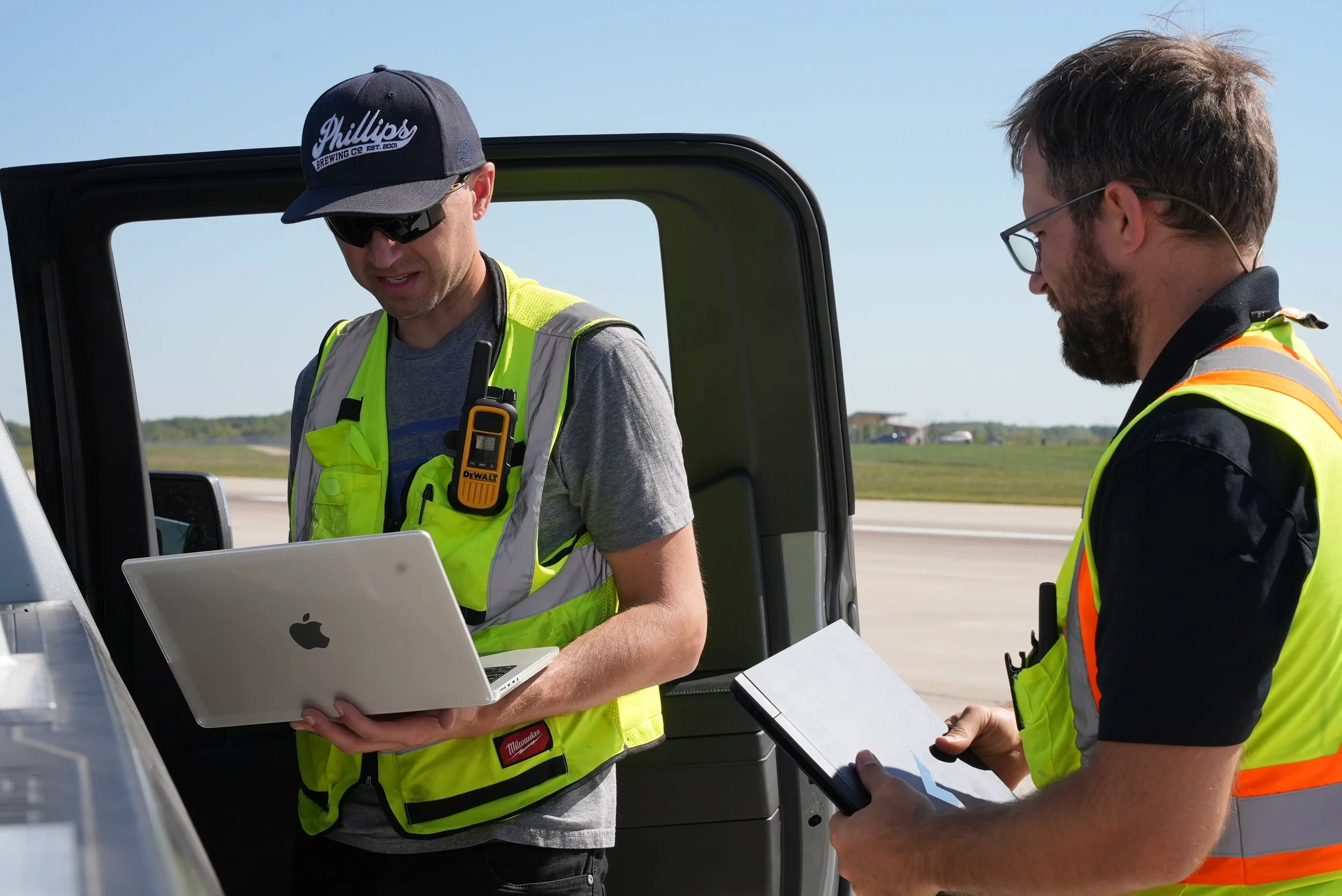
RTK positioning on the aircraft, GNSS ground control on the site, and independent check points on every dataset. We hold Transport Canada Advanced RPAS certification and can operate anywhere in Canada, including near people and in controlled airspace.
DJI Matrice 300 RTK
Primary survey and inspection aircraft
DJI Matrice 4 Enterprise
Rapid-response and progress captures
DJI Mavic 3 Thermal
Utilized during building and infrastructure inspections.
Zenmuse P1
45 MP full-frame photogrammetry camera
DJI D-RTK 3 base station
Centimetre positioning for every flight
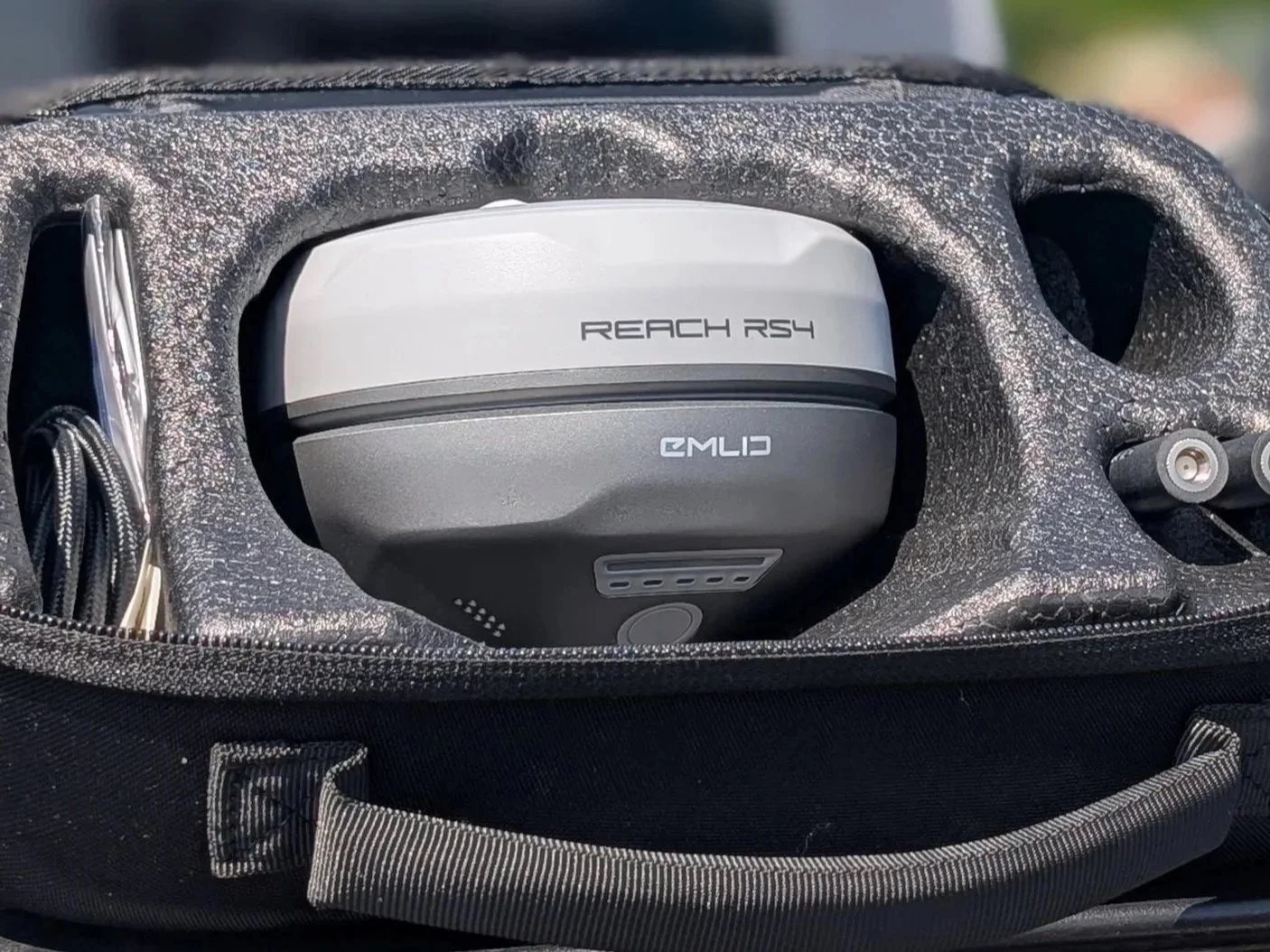
Emlid Reach RS4
GNSS ground control and check points
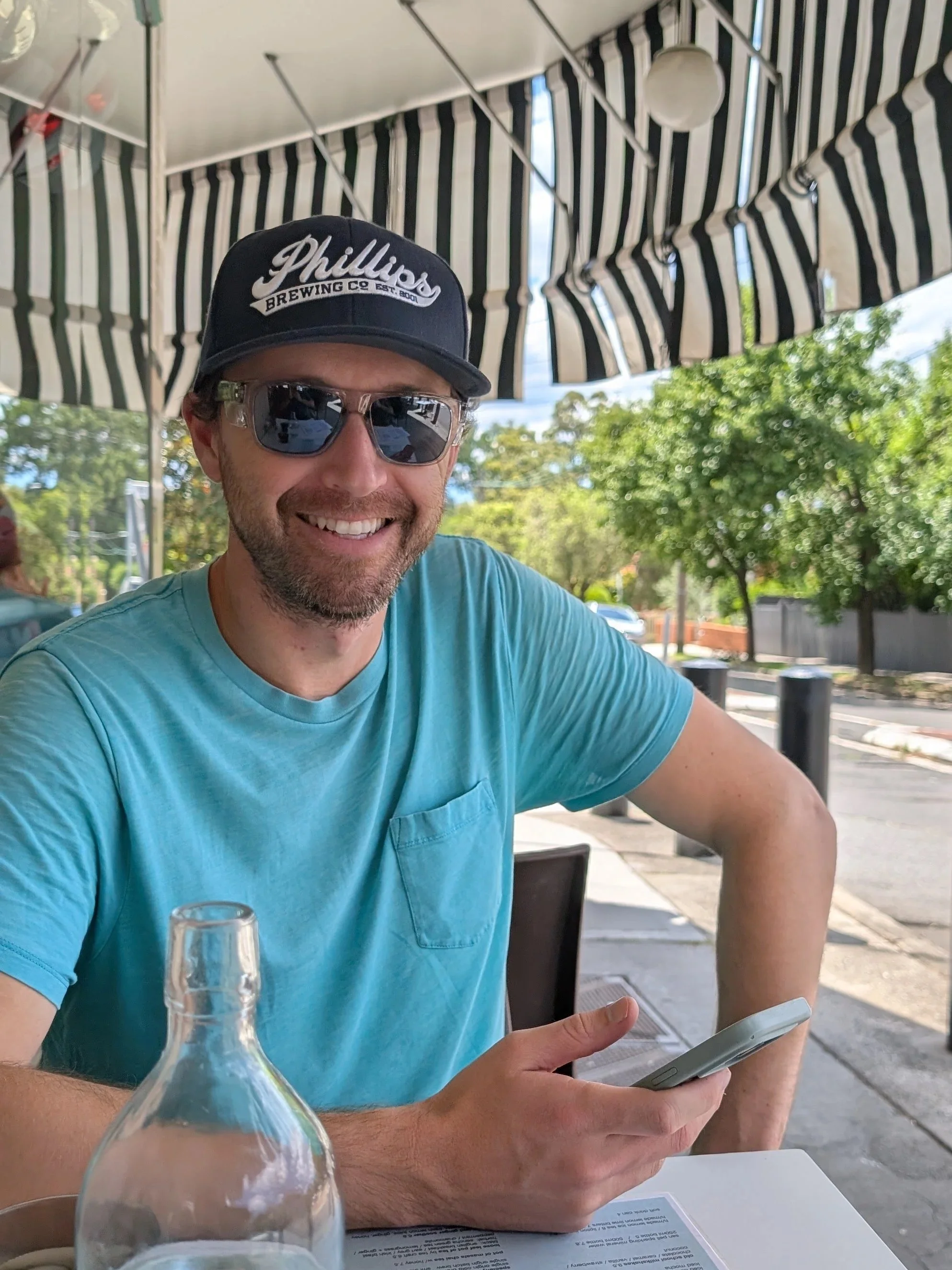
Co-FounderJonathan Chisholm
Coming from an education in Civil Engineering, Jon strives to pull off the impossible tasks for client. He is a born leader and is able to problem solve under pressure. Jon’s aim is to over deliver on each and every project he is apart of. His care and attention to detail is unmatched.
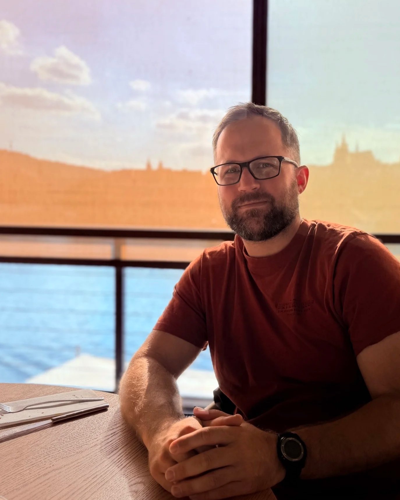
Co-FounderRobert Borthwick
Robert helps organizations solve complex field data collection challenges through the strategic application of drones, robotics, and geospatial technologies. His expertise lies in developing practical, efficient workflows that deliver high-accuracy results in environments where traditional methods are difficult, costly, or unsafe.
Combining hands-on operational experience with a deep understanding of photogrammetry, RTK positioning, and spatial data processing, Robert has supported projects involving critical infrastructure, construction, environmental monitoring, engineering, and asset inspection. His focus is not simply collecting data, but delivering information clients can confidently use to make decisions.
As an early adopter of emerging technologies, Robert continuously explores new applications for autonomous systems, remote sensing, and advanced geospatial processing to help clients work safer, faster, and with greater precision.