

Geospatial Survey & Mapping
Precise geospatial data via drone photogrammetry—reliable, repeatable, highly accurate results, not just pretty maps.
Precision Results
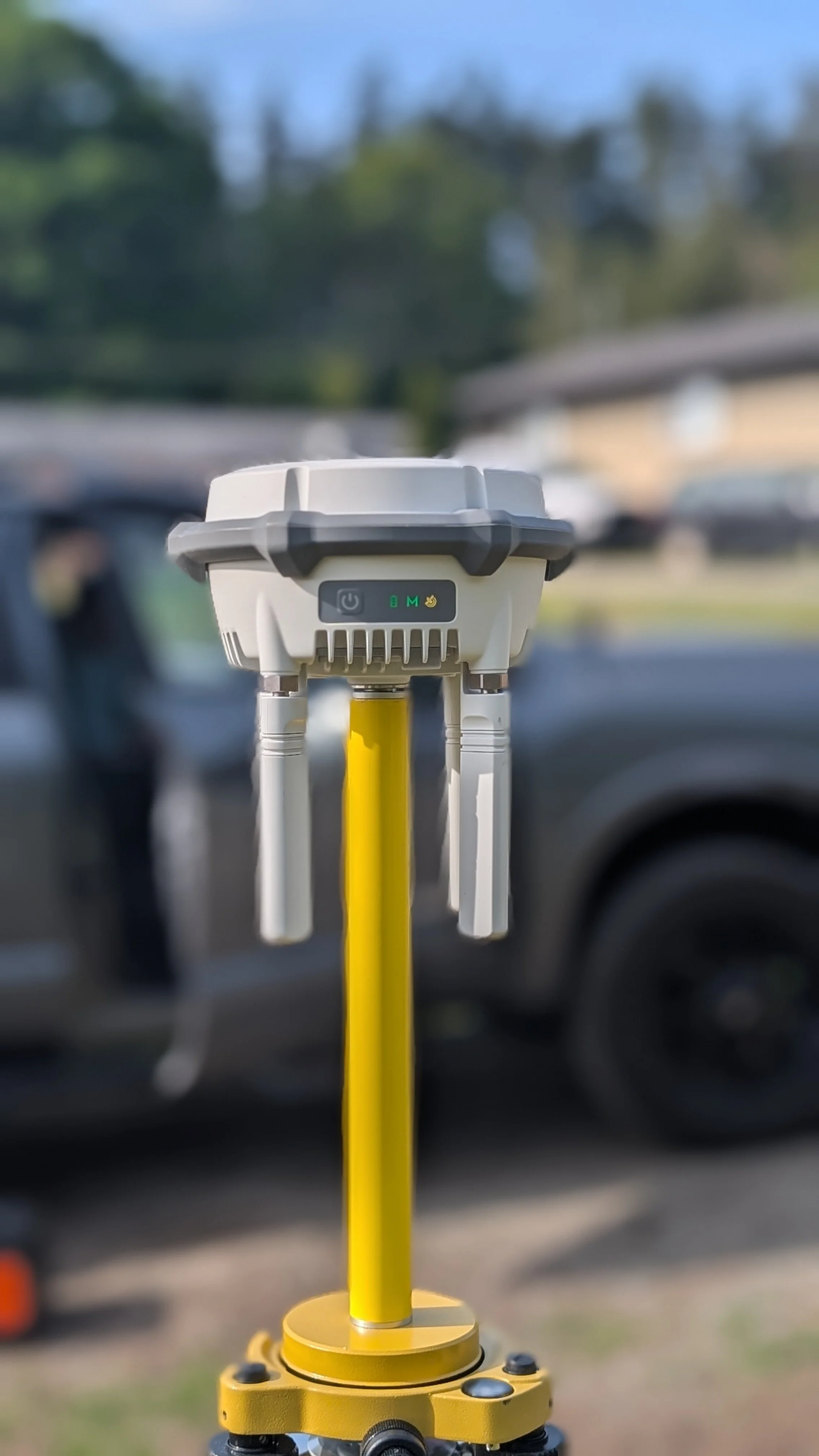
Our primary focus is to deliver the highest accurate results possible. Utilizing RTK-enabled drones combined with GNSS derived GCP’s, we are confident our workflow will deliver efficient, high quality results.
Data Formats
Our deliverables can be completed in a variety of formats, offering the type of flexibility required in order for our data to seamlessly integrate into your existing workflow. Ready for use in CAD, GIS and engineering workflows.
Zero Site Impact
We understand downtime can be an expensive proposition for our clients. By utilizing a low-impact approach, our work can be carried out while the site is active. Climbing onto aggregate piles, not required.
Most drone operators stop at “maps.” We focus on usable data—clean outputs that drop directly into your workflow without rework.
Our Services
-
Accurate elevation data is the foundation of any successful land development or civil engineering project. We deliver high-resolution DTMs and contour models that give your team a precise picture of the terrain — ready for drainage design, grading plans, and site layout without additional processing.
-
Manual stockpile measurement is slow, inconsistent, and puts people in hazardous positions. We capture your entire site in a single flight and deliver accurate volume calculations you can trust — whether you're reconciling materials, reporting to clients, or managing multiple stockpiles across a site.
-
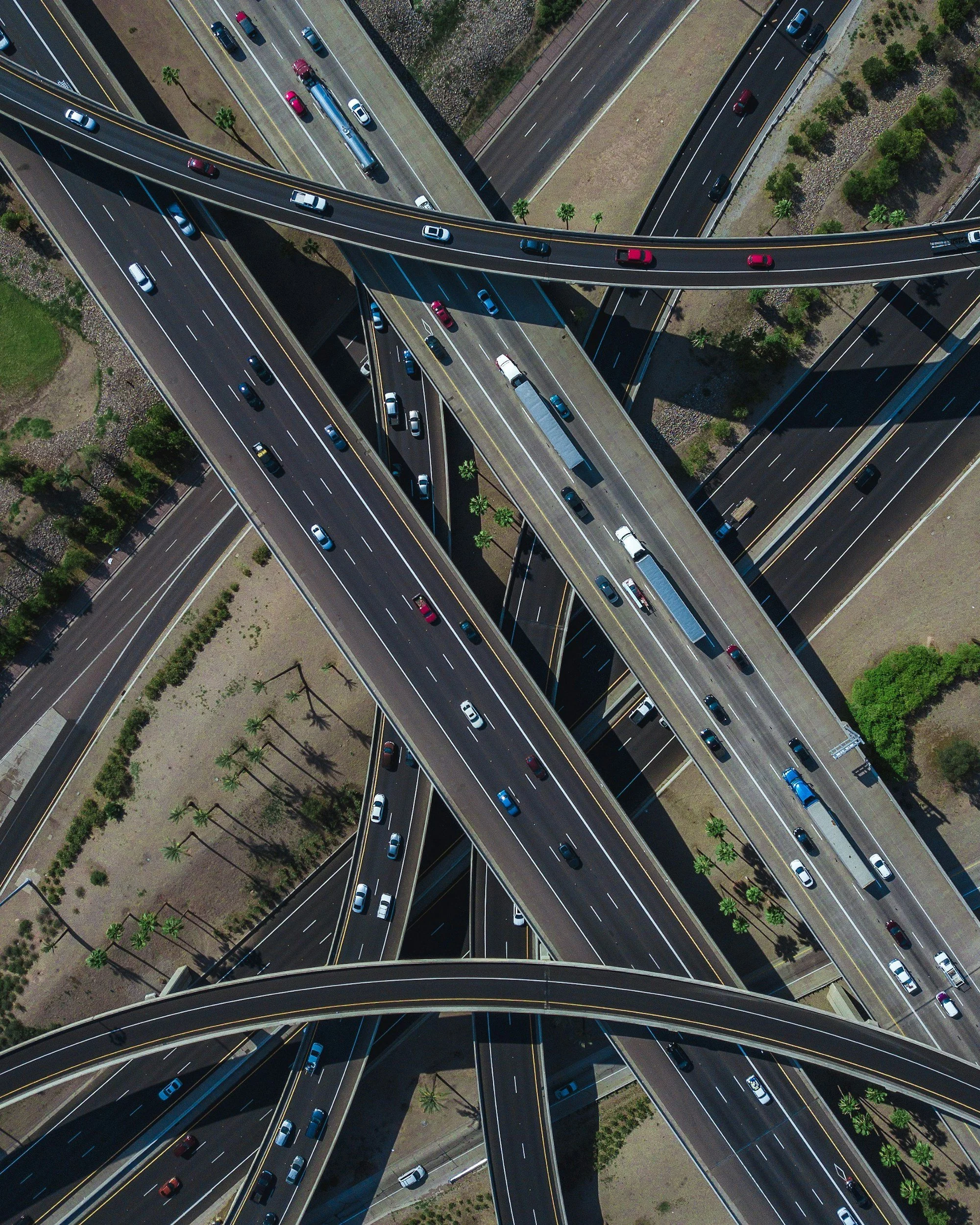
Roads, pipelines, utility routes, and transmission lines demand accurate, continuous spatial data across long distances. Our corridor mapping workflow delivers georeferenced orthomosaics and elevation data along your entire route — efficiently, without ground access limitations, and at a scale that traditional survey methods can't match.