

Construction Monitoring
A dated record of your site, every step of the build.
Scheduled drone captures from first cut to handover. Verify progress, track earthworks and stockpiles, and settle questions with evidence instead of memory.
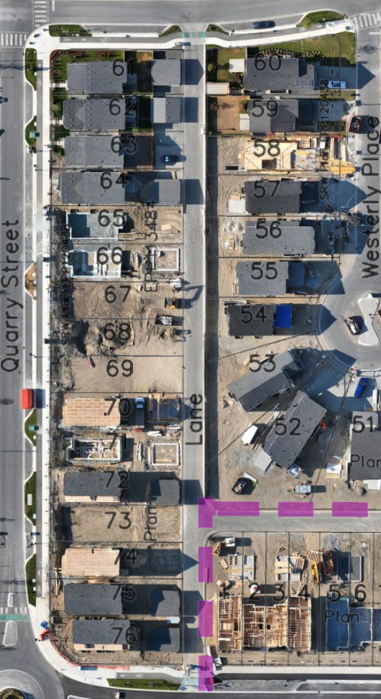
Web maps for the whole team
Open in a browser, no software to install
Same flight plan every visit
So each dataset compares directly with the last
Captures on your schedule
Weekly, fortnightly or at milestones
No disruption on site
Flown around your work, not through it
WHERE THE SAVINGS ARE
Objective data before every milestone payment.
Verify contractor progress independently
Stop relying solely on contractor self-reporting. Objective aerial data lets you confirm what's actually been completed before milestone payments are released.
Resolve disputes with evidence
When disagreements arise between contractors, owners, or engineers, datestamped aerial documentation provides an objective, defensible record of site conditions at any given time.
Catch earthworks discrepancies early
Compare planned versus actual cut/fill volumes at any point in the project. Identifying a grading error in week two is a minor correction; catching it in week ten is a costly delay.
Keep remote stakeholders informed
Project owners, investors, and off-site managers can stay accurately informed without site visits — reducing check-in calls and building confidence throughout the project lifecycle.
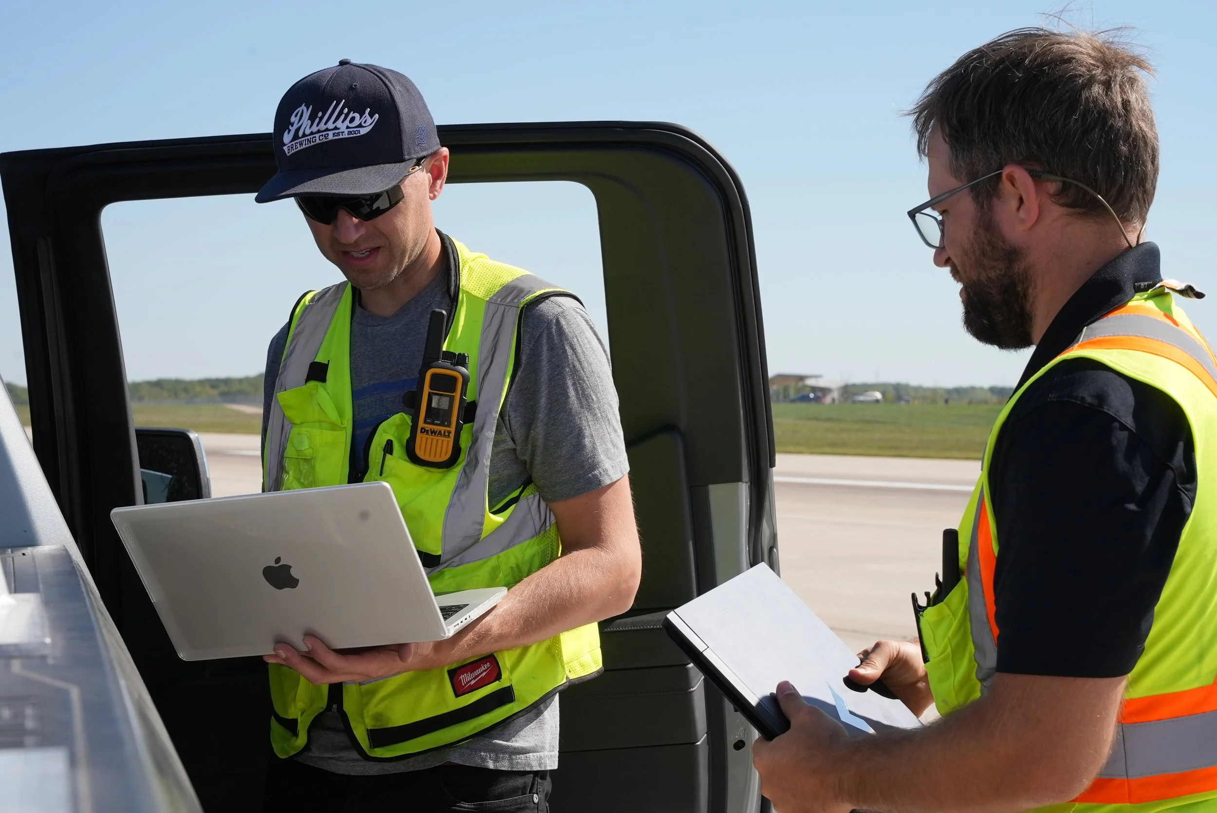
Three things every capture gives you.
WHAT WE DO
01 Scheduled progress capture
The real value comes from tracking a site over its whole development cycle. Documenting progress is essential when you are managing several contractors against a tight programme.
Fewer progress meetings, shorter ones, and a record everyone has already seen.
TYPICAL DELIVERABLES
—Dated orthomosaic per visit
—Shareable web map with a timeline slider
—Time-lapse at handover
Avoid overruns by tracking material as it moves through the site. Your team can verify volumes, slope, grade and distance from any capture, and compare planned quantities against what was actually moved.
Quantity claims checked against measured volumes, not estimates.
02 Earthworks and stockpile tracking
TYPICAL DELIVERABLES
—Volume change report between captures
—Design surface overlay
—Stockpile inventory
03 High-resolution site documentation
With the whole site documented in high-resolution imagery, no detail goes unchecked. It is the tool for catching a problem while it is still small.
Issues found on screen this week instead of on site next month.
TYPICAL DELIVERABLES
—Full-resolution image set
—Annotated issue snapshots
—As-built versus design comparison